Our Solutions Ecosystem: izi-Mapping
izi-Mapping
An izi-ai Powered Decision Support Tool.
AI-Powered Geospatial Insights.
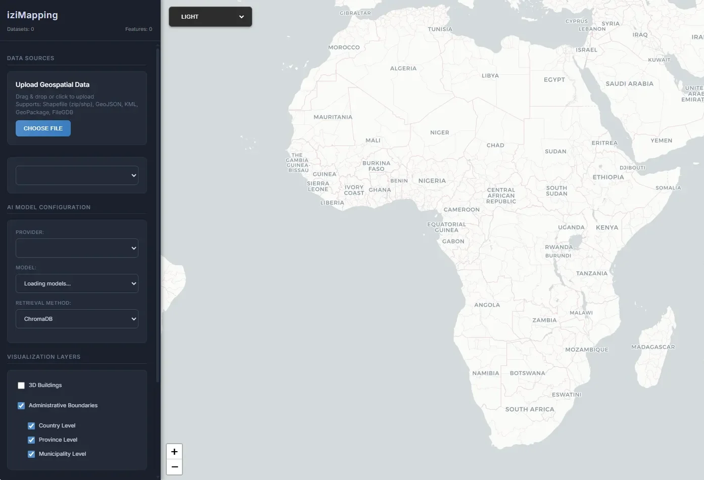
izi-Mapping empowers public sector officials, researchers, and practitioners regardless of their GIS or technical background to perform geospatial analysis and generate maps using natural language prompts. By utilising spatial datasets (shapefiles, GeoJSON, geodatabases), and AI-powered querying through large language models, izi-Mapping enables users to extract, visualize, and interpret spatial insights with minimal friction.
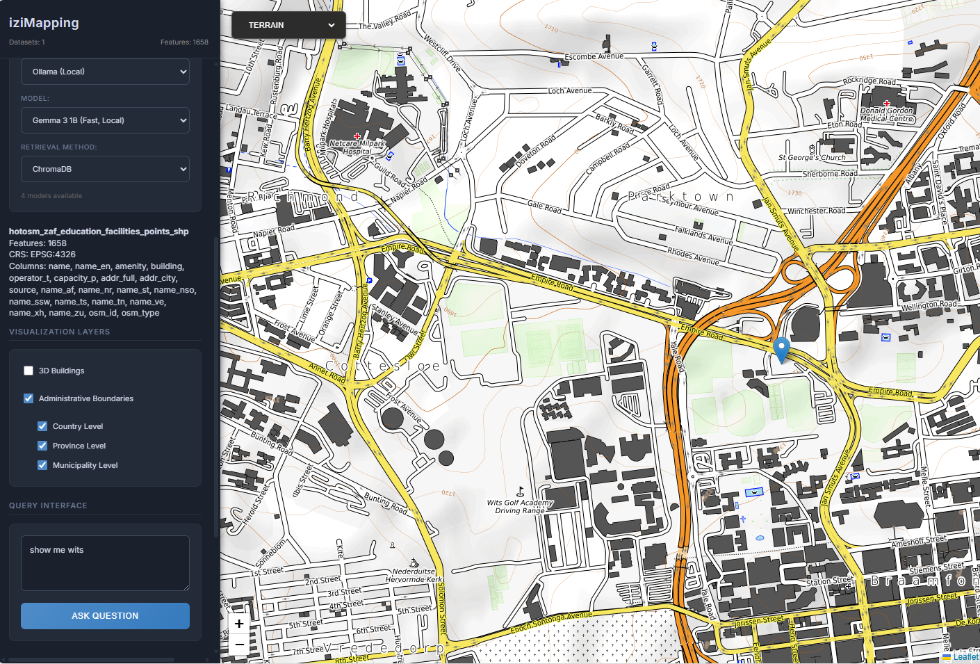
The platform supports a wide range of use cases - from identifying service delivery gaps and mapping infrastructure to supporting policy, planning, and project siting decisions.
Through an AI-driven retrieval-augmented generation (RAG) pipeline, users can ask questions like “How many clinics are in this district?” or “What’s the best access route to Point A?” and receive both visual and textual answers grounded in spatial data.
Through an AI-driven retrieval-augmented generation (RAG) pipeline, users can ask questions like “How many clinics are in this district?” or “What’s the best access route to Point A?” and receive both visual and textual answers grounded in spatial data.
izi-Mapping reduces the skills, tools, and time traditionally required for geospatial analysis, making spatial intelligence more accessible and actionable. It is redefining how public institutions engage with geospatial data, unlocking its potential as a core enabler of evidence-based governance and inclusive decision-making.
